
TL;DR
Listen free for 30 days with Audible
Thousands of audiobooks and originals — cancel anytime.
Start your free trialAs an affiliate, we earn on qualifying purchases.
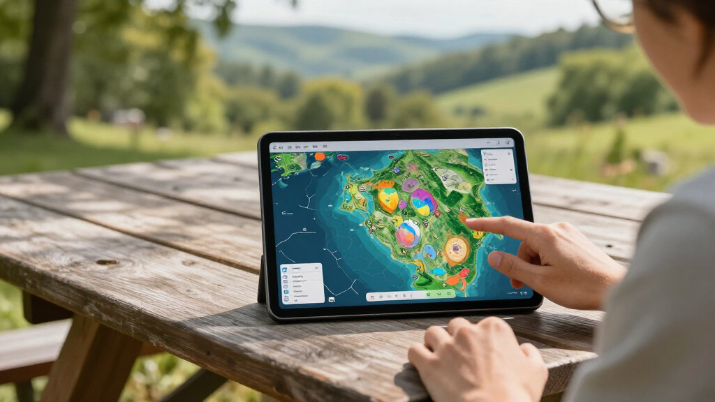
Ai2 has detailed the OlmoEarth Platform, infrastructure for adapting Earth-observation models and running geospatial inference across very large areas. Ai2 reports that it can process dozens of terabytes of imagery across a continent-scale region in roughly a day, though its performance and cost claims have not been independently verified.
Ai2 has detailed the OlmoEarth Platform, a system built to fine-tune, evaluate and run Earth-observation models across regions as large as continents. The organization says the platform can process dozens of terabytes of satellite imagery in roughly one day, giving governments and environmental groups a way to produce large-area maps without building comparable infrastructure themselves.
The platform supports Ai2’s OlmoEarth foundation models, which were pretrained on roughly 10 terabytes of multimodal satellite data. According to Ai2, governments, nongovernmental organizations and other mission-driven groups are adapting the models for deforestation monitoring, food security and wildfire risk.
OlmoEarth Run, the platform’s execution layer, divides a requested region into partitions and smaller processing windows. Separate machines can handle those windows independently before the outputs are reconciled into a geographically consistent map. Ai2 assigns imagery retrieval and preparation to CPUs, model inference to GPUs, and final assembly and export to CPUs, seeking to reserve costlier GPU capacity for model calculations.
For a recent North America wildfire-risk map, Ai2 reports that the system used about 19,600 CPUs and 994 GPUs at peak, with network throughput above 168 gigabytes per second. The organization says parallel processing reduced an estimated 4,737 hours of serial computation to 30.5 hours, a 155-fold speed increase. These figures come from Ai2 and were not independently tested in the supplied material.
The OlmoEarth Platform: Geospatial Inference at Planetary Scale
Ai2 has detailed an operational platform for adapting Earth-observation models and turning enormous satellite datasets into geographically consistent maps. It reports continent-scale inference in roughly one day—but performance and cost claims remain independently unverified.
Satellite imagery handled across a continent-scale region.
Runtime may vary by model, sensor, cloud cover and resolution.
Multimodal satellite data across bands, sensors and time.
From open models to usable maps
Releasing a model is only the beginning. Large-area mapping also requires imagery discovery, projection and resolution alignment, missing-data handling, model adaptation, distributed execution and reliable export.
Fine-tune
Mission-driven teams can adapt OlmoEarth models with task-specific labels for forests, farms, fires and other regional conditions.
Evaluate
Models can be tested before large deployments, separating task accuracy from the speed of the underlying infrastructure.
Align imagery
Inputs from multiple sensors, spectral bands and observation times must be reconciled onto a consistent geographic grid.
Partition regions
Requested areas are divided into partitions and smaller windows that separate machines can process independently.
Scale computation
GPU capacity is concentrated on model calculations while retrieval, preparation and final assembly are assigned to CPUs.
Reconcile maps
Window-level outputs are brought together into a geographically consistent product for export and operational use.
A pipeline built for parallel work
Satellite inference can move terabytes of multispectral data. In that environment, retrieval and preparation may take longer than the model calculation itself.
Define region
Select the geographic boundary, model, data sources and target output.
Partition space
Divide the region into independent partitions and processing windows.
Prepare inputs
Retrieve, transform and align imagery using CPU-heavy data workflows.
Run inference
Assign model calculations to GPUs across many parallel workers.
Reconcile output
Assemble predictions and export one geographically consistent map.
Data access, decoding, reprojection and window preparation.
Costlier accelerator capacity is reserved for neural model calculations.
Predictions are reconciled, formatted and written as final map products.
4,737 serial hours compressed to 30.5
Ai2’s North America wildfire-risk example illustrates the intended scale. The figures below are organization-reported and were not independently tested in the supplied material.
Estimated compute time vs. elapsed time
Relative visual comparison; serial computation is the 100% reference.
Calculated from estimated serial work versus wall-clock execution.
Combined reported CPU and GPU count, with different roles per processor type.
No independent reproduction or comparative benchmark was supplied.
Today, the platform can run inference across continent-scale areas in roughly a day.
Ai2 / reported platform performanceScale is promising; proof is still developing
Infrastructure speed does not establish model accuracy. Operational decisions still require representative training data, application-specific evaluation, local knowledge and field validation.
| Area | What Ai2 reports | What the platform enables | Open evidence gap | Status |
|---|---|---|---|---|
| Runtime | Continent-scale inference in roughly one day. | Faster conversion of large imagery collections into regional maps. | Consistency across models, sensors, cloud conditions and resolutions. | Ai2 claim |
| Parallelism | 4,737 serial hours reduced to 30.5 elapsed hours. | Independent spatial windows can be processed simultaneously. | Reproducible external benchmark and comparison methodology. | Unverified |
| Cost | Fractions of a penny per square kilometer. | Potentially lowers barriers for organizations without large ML teams. | Detailed hardware, storage, transfer and service-cost breakdown. | Details needed |
| Accuracy | Models are being adapted for mission-focused applications. | Supports specialized mapping for forests, agriculture and fire risk. | Task-level accuracy, field validation and local error analysis. | Task specific |
| Access | Governments, NGOs and mission-driven groups are intended users. | Shared infrastructure may reduce the engineering burden. | Broad availability, pricing, limits and onboarding process. | Not specified |
Planetary mapping becomes more accessible
The platform’s potential lies in closing the operational gap between an open foundation model and a repeatable, large-area mapping service.
Domain experts can focus on the mission
If the reported performance holds, environmental organizations could move more quickly from labeled examples and model adaptation to operational maps—without first assembling comparable data and distributed-compute infrastructure.
The value chain—and where validation belongs
Planetary-scale infrastructure accelerates the middle of the chain. Dependable outcomes still rely on strong evidence at both ends.
What is OlmoEarth Platform?
Ai2 infrastructure covering model fine-tuning, evaluation, imagery preparation, large-scale inference and map export around the OlmoEarth model family.
How fast does Ai2 say it is?
Roughly one day for continent-scale areas; the reported North America example completed 4,737 estimated serial hours in 30.5 elapsed hours.
Who is it intended for?
Governments, NGOs and mission-driven organizations working on challenges such as forests, agriculture and wildfire risk.
What should observers watch next?
Access terms, detailed pricing, reproducible external benchmarks and evidence from organizations adapting the models to their own data.
Planetary Mapping Becomes More Accessible
Large-scale Earth-observation projects often require teams to locate imagery from several providers, reconcile different projections and resolutions, manage cloud-obscured or missing observations, and keep every prediction aligned to a geographic grid. Packaging that work into a shared platform could lower the engineering burden for environmental organizations whose staff have domain expertise but limited machine-learning infrastructure.
The potential impact lies in the gap between releasing an open model and operating it reliably. If OlmoEarth performs as Ai2 reports, users could move more quickly from labeled data and model adaptation to continent-scale operational maps. That could support faster monitoring of fires, forest loss and agricultural conditions, although useful outcomes still depend on training data, model accuracy and local validation.
satellite imagery analysis software
As an affiliate, we earn on qualifying purchases.
As an affiliate, we earn on qualifying purchases.
From Open Models to Operations
Ai2 describes OlmoEarth as a family of open Earth-observation models, but says many likely users lack the teams needed to manage data labeling, fine-tuning, inference and performance monitoring. The platform is intended to supply that operational layer rather than serve only as another model release.
The work draws on Ai2’s experience operating Skylight and EarthRanger, platforms used for maritime and conservation applications. Satellite inference presents a different scale from common text or image tasks: a single job may move terabytes of multispectral, multisensor data, while data retrieval and preparation can take longer than the model’s calculations.
“That’s why we built the OlmoEarth Platform: infrastructure for taking geospatial models from fine-tuning and evaluation to large-scale inference.”
— Ai2, in its technical article
As an affiliate, we earn on qualifying purchases.
Benchmarks Still Lack Outside Verification
It is not yet clear how consistently the platform reaches its reported one-day continent-scale runtime across different models, sensors, cloud conditions and output resolutions. Ai2 has not provided independent benchmark results in the supplied material, and its claim of fractions of a penny per square kilometer lacks a detailed cost breakdown.
The source also does not specify broad availability, pricing, service limits or the process organizations must follow to gain access. Model accuracy for individual applications remains separate from infrastructure speed, and users would still need task-specific evaluation and field validation before relying on outputs for policy or operational decisions.
remote sensing data processing hardware
As an affiliate, we earn on qualifying purchases.
As an affiliate, we earn on qualifying purchases.
Access and Validation Take Center Stage
Attention now turns to whether Ai2 publishes access terms, reproducible benchmarks and detailed pricing, and how outside organizations perform when adapting OlmoEarth to their own datasets. Future deployments in deforestation, food security and wildfire risk will provide evidence about whether the platform’s speed and scale produce dependable real-world decisions.
environmental monitoring GIS software
As an affiliate, we earn on qualifying purchases.
As an affiliate, we earn on qualifying purchases.
Key Questions
What is the OlmoEarth Platform?
It is Ai2 infrastructure for Earth-observation models, covering fine-tuning, evaluation, imagery preparation, large-scale inference and map export. It is built around the OlmoEarth model family.
How fast does Ai2 say the platform is?
Ai2 says it can process continent-scale areas in roughly one day. Its North America wildfire example reportedly finished about 4,737 hours of serial computation in 30.5 hours of elapsed time.
What data was used to pretrain OlmoEarth?
According to Ai2, the models were pretrained on roughly 10 terabytes of multimodal satellite data, including information spanning multiple spectral bands, sensor types and observation times.
Who could use the platform?
Ai2 identifies governments, NGOs and mission-driven organizations as intended users, especially groups working on forest monitoring, agriculture and wildfire risk without large internal engineering teams.
Are the performance and cost claims independently verified?
No independent validation appears in the supplied source. The runtime, hardware-use and cost figures are claims reported by Ai2, and detailed comparisons with other geospatial systems remain unavailable in the provided material.
Source: Hugging Face
Fall Picks
fall essentials
As an affiliate, we earn on qualifying purchases.