
Every optical satellite shares a weakness with the human eye: it needs light, and it can’t see through clouds.

Get business pricing on tech for your team
- Business-only prices and quantity discounts
- Tax-exempt purchasing
- Multiple users, one account, clear invoices
Over Northern Europe, that’s not a corner case. It’s most of the year. A monitoring capability that goes dark whenever the weather turns — or the sun sets — isn’t persistent surveillance. It’s occasional photography.
Synthetic aperture radar doesn’t have this problem. SAR satellites illuminate the ground with their own microwave pulses and image the reflections — day, night, cloud, fog, smoke, all the same. And in 2026, this once-exotic military technology has become a commercial commodity with a $7.45 billion market projected to reach $18.8 billion by 2034, national constellations sprouting across Europe, and a data firehose that has quietly outgrown the world’s ability to analyze it.
This piece explains what SAR actually does, in plain language — and then walks through what it means for three very different kinds of buyers: enterprises, institutions, and governments. Because the answer is different for each, and most coverage collapses them into one.
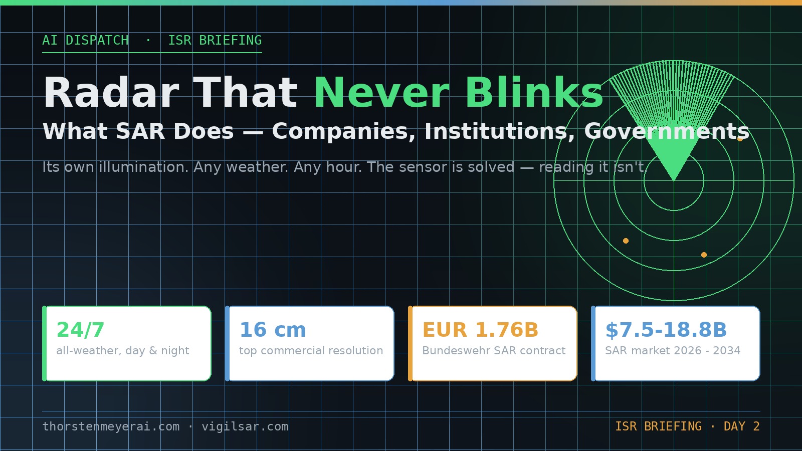
Radar That Never Blinks
What SAR Does — for Companies, Institutions, Governments
Active microwave imaging: its own illumination, any weather, any hour. The sensor is solved — the reading of it isn’t.
Three consequences of the physics
Active sensor: transmits its own microwave pulses. Same image quality at 3 a.m. in a North Sea storm as at noon in the Sahara.
Phase-coherent imaging enables InSAR: ground deformation at millimeter scale — subsiding dams, sagging bridges, hidden excavation.
Metal reflects radar strongly. A ship that switches off its transponder vanishes from tracking sites — not from a radar image.
Who buys it, and why — three different answers
- Insurance: flood-extent maps within hours, through the storm — parametric payouts before adjusters arrive
- Infrastructure & energy: InSAR subsidence alerts on pipelines, rail, dams — no ground sensors
- Maritime & commodities: dark-vessel detection, port congestion, storage monitoring
- Caveat: buy analytics, not raw phase histories — the value is in the interpretation layer
- Disaster response: damage proxies and flood maps while optical is blind
- Climate science: ice velocity, deforestation under perpetual cloud (Sentinel-1, free & open)
- OSINT & journalism: verifiable all-weather evidence — normalized by Ukraine, institutionalized since
- Caveat: radar literacy is scarce — misread speckle becomes a confident, wrong “convoy”
- Deterrence: continuous all-weather watch closes the cloud-cover exploit window
- Verification: arms-control and sanctions evidence that doesn’t blink
- Autonomy: a subscription can be throttled by a foreign provider; a nationally-tasked constellation can’t
- Caveat: collection has outrun exploitation — the analyst corps can’t screen sub-hourly revisit manually
Europe is buying constellations, not just imagery
THE EXPLOITATION GAP
The scarce resource is no longer the satellite — it’s the software that turns phase histories into detections and decisions, in the jurisdiction the mission requires. Whoever owns the software that reads the radar owns the value of the constellation above it. Buying satellites while importing the exploitation stack just moves the dependency one layer up.
Synthetic Aperture Radar (SAR) imaging device
As an affiliate, we earn on qualifying purchases.
As an affiliate, we earn on qualifying purchases.
The physics, minus the mathematics
A SAR satellite is an active sensor. It transmits microwave pulses toward the ground and records what bounces back — not just the strength of each echo but its phase, the precise position within the wave’s cycle. As the satellite moves along its orbit, it combines thousands of these echoes as if they came from one enormous antenna — a “synthetic aperture” kilometers long. That trick is what turns a washing-machine-sized spacecraft into an imaging system that can resolve objects down to 16 centimeters, the current commercial ceiling offered by US operator Umbra and matched by ICEYE’s Gen4 satellites.
Three consequences follow from the physics, and they define everything SAR is good for:
It works always. No sun required, no weather permitting. A SAR constellation delivers the same image quality at 3 a.m. in a North Sea storm as at noon in the Sahara.
It measures change with uncanny precision. Because SAR records phase, two images of the same spot can be interferometrically compared — a technique called InSAR — revealing ground deformation of millimeters: a subsiding dam, a bulging volcano flank, a sagging bridge, an excavation that officially isn’t happening.
It sees things optics can’t. Metal objects — ships, vehicles, structures — reflect radar strongly and pop out of the background. A vessel that switches off its transponder disappears from tracking websites; it does not disappear from a radar image.
What it doesn’t give you is a pretty picture. SAR imagery is grayscale, geometrically strange, speckled, and genuinely hard to read without training or tooling. Hold that thought — it becomes the punchline.
all-weather satellite imagery service
As an affiliate, we earn on qualifying purchases.
As an affiliate, we earn on qualifying purchases.
The 2026 landscape: from two superpowers to a constellation bazaar
A decade ago, spaceborne radar belonged to a handful of national programs. Today, Finland’s ICEYE operates the largest commercial SAR constellation — more than two dozen satellites with sub-hourly revisit — and launched six more this March alone. Umbra is building toward a 32-sensor constellation; Capella Space and Japan’s Synspective round out the commercial field; Airbus, Thales Alenia, e-Geos, OHB and IAI hold the institutional flank.
The number that changed the European conversation: ICEYE is targeting revenue above €1 billion in 2026 — quadruple its 2025 figure — on a €1.5 billion contracted backlog anchored by a €1.76 billion contract with the German Bundeswehr. Poland’s armed forces are buying their own MikroSAR constellation from the same company; Portugal’s air force is anchoring an Atlantic Constellation; Greece has folded ICEYE satellites into its national space program; BAE’s Azalea constellation carries them too.
Read that list again: European states are no longer just buying radar imagery — they’re buying constellations. That’s a sovereignty statement, and we’ll come back to it.
As an affiliate, we earn on qualifying purchases.
Angle one: what SAR means for enterprises
The commercial case rests on a simple asymmetry — for a growing set of industries, knowing first is worth real money, and SAR is the only sensor that knows on schedule regardless of conditions.
Insurance is the anchor market. When a flood hits, an insurer with SAR-derived flood-extent maps can estimate portfolio losses within hours and trigger parametric payouts before adjusters reach the scene — through cloud cover that blinds every optical alternative. It’s no accident that the same constellations serving defense ministries sell to insurers; the dual-use model is what makes the constellation economics close at all.
Infrastructure and energy operators use InSAR as a structural early-warning system: millimetric subsidence along pipelines, rail corridors, mining tailings dams, and urban construction sites, measured from orbit on a weekly cadence, without deploying a single sensor on the ground. Maritime and commodity players track port congestion, dark vessels, and storage — radar doesn’t care whether a tank farm or anchorage is photogenic. Agriculture and finance read soil moisture and harvest progress through monsoon clouds that write off optical data for months.
The honest enterprise caveat: raw SAR data is not a business insight. The value chain runs sensor → processing → analytics → decision, and most companies should buy at the analytics end — flood polygons, deformation alerts, vessel detections — not raw phase histories. The gap between those two layers is where most of the margin, and most of the unsolved work, now lives.
phase-coherent radar imaging equipment
As an affiliate, we earn on qualifying purchases.
As an affiliate, we earn on qualifying purchases.
Angle two: what SAR means for institutions
For research institutions, humanitarian organizations, and civil agencies, SAR’s significance is less about profit and more about ground truth that doesn’t depend on anyone’s permission or daylight.
Disaster response is the canonical case: earthquake damage proxies from coherence change, flood mapping through the storm that caused the flood, landslide detection in monsoon season. Climate and polar science lean on SAR for ice-sheet velocity, deforestation under perpetual cloud (the Amazon and Congo basins are optical dead zones for much of the year), and glacier monitoring. Europe’s Copernicus Sentinel-1 mission — free and open data — has quietly become one of the most-used scientific instruments ever launched, and its openness is a policy choice other blocs have not matched.
And a newer institutional user: OSINT researchers and journalists. Commercial SAR has made verifiable, all-weather evidence of military buildups, sanctions-busting shipping, and infrastructure strikes available to newsrooms and NGOs — a transparency shift with real geopolitical weight. The war in Ukraine normalized it; treaty-monitoring groups and human-rights investigators institutionalized it.
The institutional caveat mirrors the enterprise one, with sharper teeth: radar literacy is scarce. Misread SAR imagery produces confident, wrong conclusions — a speckle artifact becomes a “convoy,” a processing seam becomes a “trench line.” The bottleneck isn’t access anymore. It’s interpretation.
Angle three: what SAR means for governments
For governments, SAR is the closest thing to a persistent, sovereign, all-weather eye — and 2026 Europe is treating it that way for the first time.
The dual-use procurement model now dominates: the US National Reconnaissance Office has run commercial radar contracts with Capella, ICEYE US, and Umbra through mid-2026, buying commercial capacity to augment classified systems. Europe inverted the pattern — instead of only buying imagery, Germany, Poland, Portugal, and Greece are buying or co-owning satellites, keeping tasking authority and data custody national. That difference matters enormously: an imagery subscription can be throttled, deprioritized, or shut off by a foreign provider or its regulator; a nationally-tasked constellation cannot.
The strategic logic runs three layers deep. Deterrence: an adversary that knows it is watched continuously, in all weather, loses the exploit window that European cloud cover used to offer. Verification: arms-control and sanctions regimes need evidence that doesn’t blink. Autonomy: the last several years have taught European planners exactly what dependency on another state’s space infrastructure costs when interests diverge — the lesson generalizes from launch and comms to imaging.
The government-side caveat is the least discussed and the most structural: collection has outrun exploitation. A constellation with sub-hourly revisit generates image volumes no analyst corps can screen manually. The scarce resource is no longer the satellite; it’s the software layer that turns phase histories into detections, changes, and decisions — automatically, at the classification level and (for Europe) in the jurisdiction the mission requires. This exploitation gap is precisely the problem my own platform work at vigilsar.com addresses, and it’s why I keep arguing that European ISR sovereignty is now a software problem at least as much as a launch problem. Buying satellites while importing the exploitation stack just relocates the dependency one layer up.
Bull, bear, and the honest middle
The bull case: all-weather persistent monitoring is becoming infrastructure — priced like data, not like aerospace. The market doubles-plus by 2034, national constellations proliferate, and the insurance/infrastructure/climate applications alone justify the buildout even before defense demand, which is currently paying most of the bills.
The bear case, steelmanned: the field may be overbuilding. Multiple operators are chasing overlapping revisit promises while defense anchor-tenancy masks soft commercial demand; if government budgets wobble, consolidation follows (one US SAR pioneer has already changed hands). Resolution licensing regimes can tighten as fast as they loosened. And the surveillance-governance question is genuinely unresolved — persistent radar imaging of civilian infrastructure at 16-centimeter resolution raises accountability questions that current space law barely gestures at. That governance debate deserves its own dispatch, and will get one later this week.
The honest middle: SAR itself is proven, the market is real, and the physics advantage is permanent. The open contest — commercially and geopolitically — is the exploitation layer. Whoever owns the software that reads the radar owns the value of the constellation above it.
Sources: New Space Economy dual-use SAR market analysis (March 2026, incl. ICEYE revenue targets and Bundeswehr contract); Janes and ICEYE press releases (launches, national programs, Gen4 resolution, Nov 2025–Apr 2026); eoPortal Umbra constellation profile; Breaking Defense / syntheticapertureradar.com (NRO SCE BAA Stage III extensions); Future Market Insights and Intel Market Research SAR market forecasts (2026).
Fall Picks
fall essentials
As an affiliate, we earn on qualifying purchases.